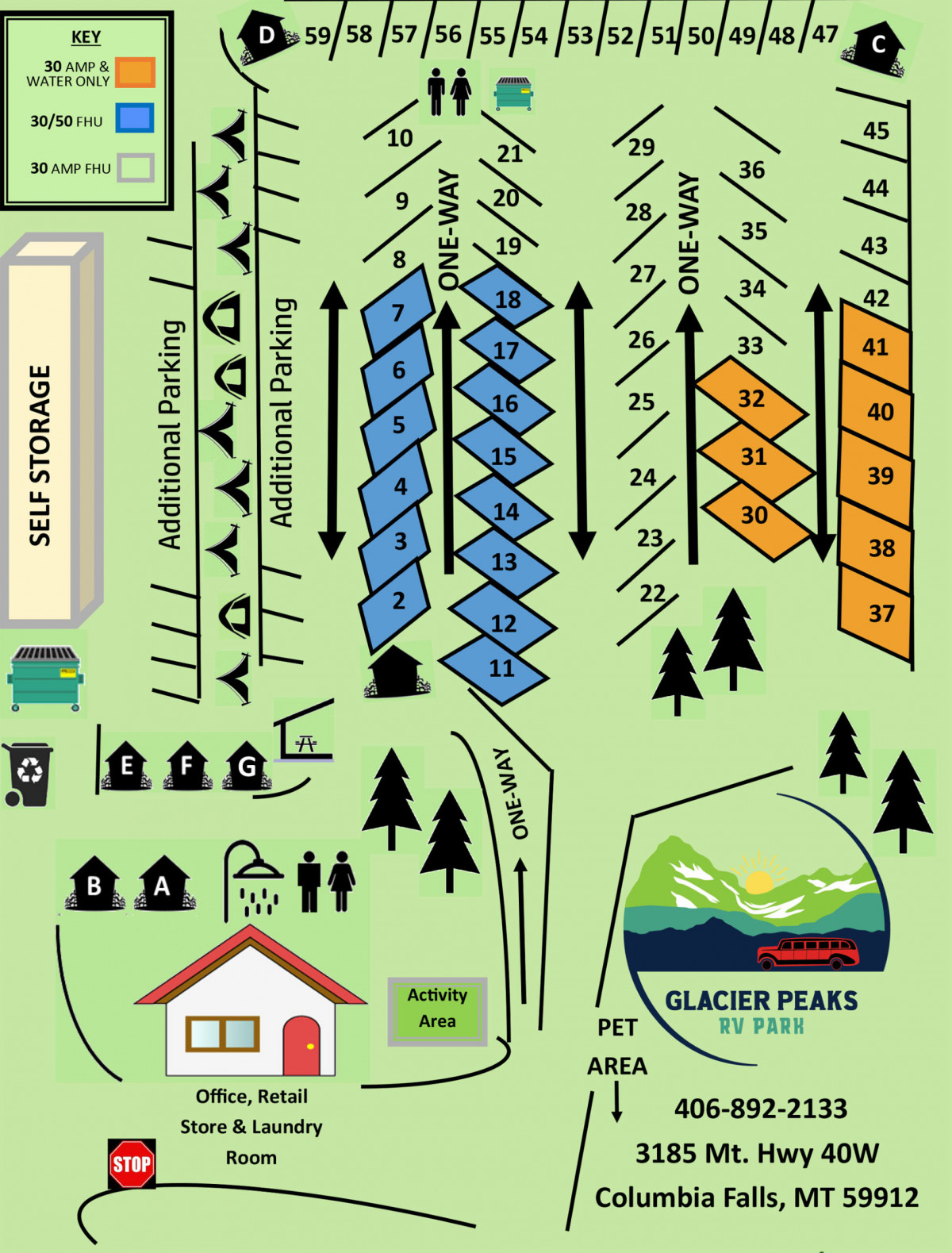
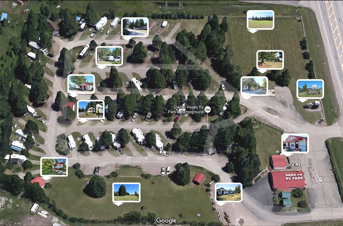
Below is a map of the RV Park. You can click on any of the embedded images to view a larger photo.
*Note: Photos will open in new window / tab *
How to get here…
From Kalispell:
Head north-east out of Kalispell on Highway 2. From the intersection of Hwy 2 and Hwy 93 in Kalispell, you will drive approximately 13 miles north out of Kalispell on Hwy 2 until you arrive at the intersection of Hwy 2 an Hwy 40 in the outskirts of Columbia Falls. Hwy 2 makes a 90 turn to the right (east) and Hwy 40 runs the opposite direction. You will want to turn left onto Hwy 40 at the intersection. Glacier Peaks RV Park is on the right side of the road.
From Whitefish:
Head south out of town on Hwy 93. Just as you are leaving town, you will come to a turn signal at the intersection of Hwy 40. Turn left (east) onto Hwy 40. You will drive about 4.7 miles heading east down Hwy 40. Glacier Peaks RV Park will be on the left side of the road just before you get to the Hwy 2 intersection.
From Columbia Falls:
Head west out of Columbia Falls on Hwy 2 heading towards Whitefish. At the intersection of Hwy 2 and Hwy 40, you will want to go straight transitioning from Hwy 2 to Hwy 40. Glacier Peaks RV Park is on the right side of the road just beyond the intersection.
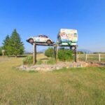
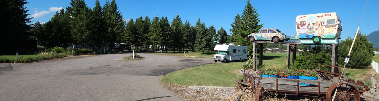
“Look for the Bug and Trailer!”